

|
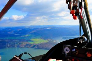
Flight equipment and platformsThanks to our cooperation partners we are able to provide a broad range of different sensor platforms, starting from radio controlled multirotor systems and autonomous micro air vehicles (MAV/UAV) to manned aircraft with up to date navigation technology. |
|
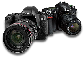
Camera equipmentWe use only high quality camera models from CANON, NIKON, PANASONIC and JENOPTIC. |
|
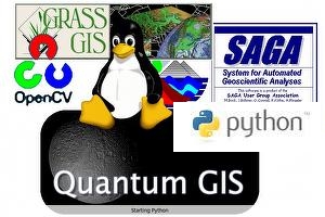
Computing environmentOur System is based on Python, OpenCV, GDAL and other open source components such as GRASS GIS, Quantum GIS and SAGA GIS - all embedded in a 64 bit linux environment. For cartographic output we use ESRI's ArcGIS Desktop. |
Equipment